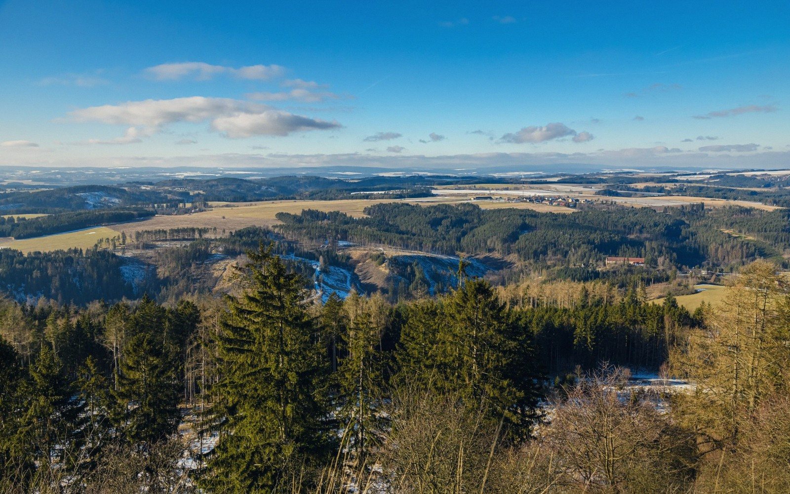
Where the ground finally breaks: the fault-bounded ridges that lift Scania out of its own flatness.
01The grain of the land
Scania reads, at first glance, as irredeemably flat — a province of sky and horizon, of fields running unbroken to the sea. But cutting diagonally across that flatness, from the north-west toward the south-east, runs a broken spine of higher ground that the geology calls horsts: fault-bounded blocks that stayed put, or rose, while the land on either side dropped away. The result is not alpine drama. These are modest ridges — rarely reaching above 200 metres — but in a region where the baseline is close to sea level, they carry real weight.
The mechanism is old. During the Triassic and Jurassic periods, the crust here was pulled apart along roughly parallel fault lines, producing a series of tilted and sunken blocks — grabens — with intervening higher ground left standing. What we see now is the eroded remnant of those original scarps, softened by ice and time but still structurally distinct. The ridge known as Söderåsen is the most dramatic expression of this: a plateau of ancient gneiss and amphibolite, cut through by steep-sided ravines where streams have worked down the jointed rock, creating the kind of enclosed, damp gorge forest more typical of Scandinavia much further north. Beech dominates the canopy; the ravine floors stay cold and green through summer while the surrounding farmland bakes.
Romeleåsen, running south of Söderåsen, is lower and broader, its contours gentler, its cover a mix of beech and managed conifer. Linderödsåsen reaches further east, forming the long ridge above Kristianstads Vattenrike before the ground finally loses itself in the flat coastal plain approaching Hanöbukten. Each ridge has its own character — its own aspect, its own tree cover, its own microclimate — but all three share the same tectonic origin and the same structural role: they are the bones the ice couldn't quite erase.
The ridges also shape water. Streams radiate down from their flanks in every direction, feeding the rivers that cross the lowlands toward the coast. Where a stream cuts a gorge on a steep scarp face, the valley can feel genuinely enclosed — shadow in the morning, sudden cold, the sound of water amplified by rock. For the rest of the province, such things simply don't exist.
Stand on the open heath at the top of Söderåsen on a clear day. To the south, the plain stretches away without interruption. The ridge you're standing on isn't high. But it is, by local measure, everything.
| Place | What it is |
|---|---|
| Söderåsen | fault-bounded ridge and national park in north-central Scania, deepest beech ravines in the region |
| Romeleåsen | broad, lower ridge south of Söderåsen with mixed beech and conifer cover |
| Linderödsåsen | easternmost of the main ridges, running toward the Kristianstad plain |
| Hanöbukten | bay on Scania's south-east coast where the ridge system finally flattens to shore |