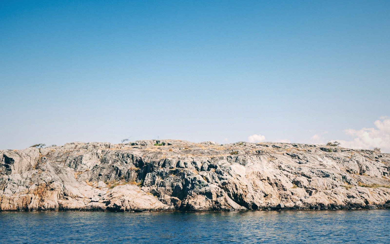
The one place in Scania where the rock refuses to lie down.
01The Anomaly at the Province's Corner
Scania is famously flat. The province sits on sedimentary lowland, worn back to a plain by ice and time, and almost nowhere does solid rock break the surface with any conviction. Then the Kullaberg peninsula juts north-west into the Kattegat and everything changes. Here, Precambrian basement — metamorphic gneiss and granite — rises directly from the sea in cliffs that reach sixty metres above the water, their faces split and stained with lichen, their bases worn into caves and stacks by the waves of the Kattegat. For a province whose dominant relief feature is a gentle ridge, this is a different world altogether.
The peninsula is a nature reserve, Kullabergs naturreservat, one of the largest in the south of Sweden. The reserve covers not only the cliffs and their narrow wave-cut platforms but the heath and oakwood that gather in the hollows above, a mosaic of habitats dense enough to make Kullaberg one of the most species-rich corners of the region. Allemansrätten — the right of public access that underlies outdoor life across Sweden — applies here as elsewhere, but the terrain itself enforces a certain respect: the paths above the cliffs are narrow, the rock is often damp and the drop below is unambiguous.
02What the Cliffs Hold
The lighthouse at Kullen, Kullens fyr, has been marking this headland for centuries; the current tower dates from the nineteenth century and sits at the very tip of the peninsula, at the highest point of the cliffs. From it, on a clear day, the Danish coast is close enough to read as a distinct coastline, not merely a smear on the horizon — the Öresund narrows here before opening again into the Kattegat, and the headland interrupts the channel like a raised fist.
Below the lighthouse, the shoreline becomes a geography of its own. The cliffs are not sheer and uniform but broken into ribs and inlets, some accessible at low water, many not. Sea caves have formed where joints in the rock gave the waves a purchase; the largest, Digerhålan, is navigable by kayak in calm conditions. The boulders on the wave-cut ledges are encrusted in distinct tide-zone communities — channelled wrack at the top shading down through bladder wrack to kelp in the pools — a littoral sequence you will not find anywhere else on this coast, because nowhere else on this coast has the right substrate for it.
Above the cliff edge, the vegetation tells its own story. The thin, wind-exposed soils carry heather and crowberry where the headland is most exposed, giving way inland to stands of oak and hazel that shelter an understorey rich in spring ephemerals. The combination of rocky warmth, southern aspect and proximity to the sea produces a flora with a distinctly oceanic flavour: plants more typical of western Norway or the Atlantic fringe of Denmark turn up here at their southernmost or easternmost limits.
Sea caves have formed where joints in the rock gave the waves a purchase; the largest, Digerhålan, is navigable by kayak in calm conditions.
03When to Come
The headland is accessible year-round, and each season gives a different reading of the place. In late spring, the heathland edge brightens with flowering blackthorn and the oak canopy is still thin enough to let light through to the ground flora below. Seabirds use the cliff ledges through the breeding season — razorbills and guillemots are present, though not in the numbers you would find on a true seabird colony further north.
Autumn strips the scene back. The oak leaves go yellow-brown against grey rock and grey sea, and the light at low sun angles catches the cliff faces in a way that flattens the contrast and makes the geology legible — you can trace fold lines and intrusions that are invisible in summer's flat midday light. Winter is quieter still, the paths largely empty, the Kattegat dark green and given to chop. This is when Kullaberg most honestly resembles what it is: a hard, old piece of the Earth's crust standing its ground against a sea that has been trying to dismantle it for a very long time.
| Place | What it is |
|---|---|
| Kullaberg (Kullabergs naturreservat) | large nature reserve on the north-west peninsula, Scania's main cliff coastline |
| Kullens fyr | lighthouse at the tip of the Kullaberg headland |
| Digerhålan | the largest sea cave on the Kullaberg coastline |
| Kattegat | the sea body to which the Kullaberg peninsula is exposed |