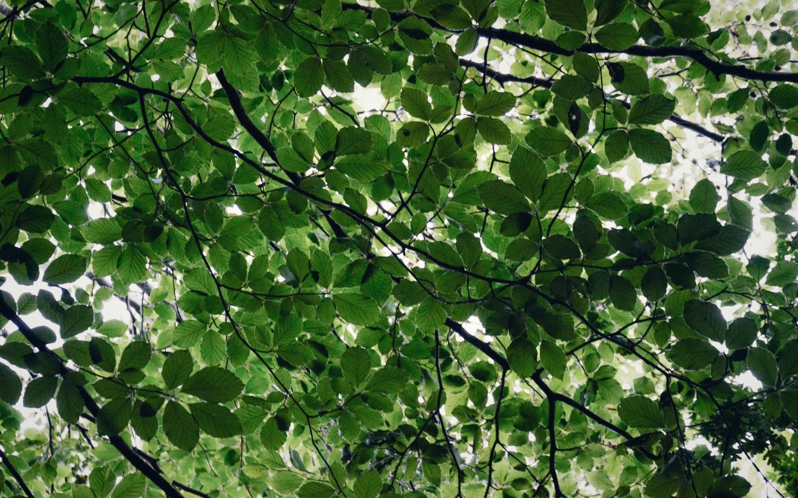
A rift-valley ridge of old beech, deep ravines and the steepest ground Scania has to offer.
01The Ridge and What Made It
Scania is a flat province — or flat enough that its only real relief stands out immediately. The Söderåsen ridge runs roughly northwest–southeast through the interior, a narrow horst of Precambrian gneiss pushed upward while the valleys on either side subsided. The result is a landscape that feels almost borrowed from somewhere further north: narrow ravines, steep escarpments, fast streams cutting downward through rock, and a canopy that closes overhead in summer until the light on the forest floor drops to a kind of perpetual dusk.
The highest point on the ridge reaches around 212 metres above sea level — modest by any alpine reckoning, but dramatic by Scanian standards, where most of the province sits only just above the sea. The effect is less about raw altitude than about gradient and enclosure. Drop into one of the deep clefts on the southern slope and the world reduces to mossy walls, trickling water and the sound of your own feet. The ridge's geology keeps the soil thin and acidic on its crest, while moisture pools at the base of the ravines, creating two very different microhabitats within a short walk of each other.
Söderåsen National Park protects the core of the ridge — established in 2001, it covers roughly 1,625 hectares and contains some of the most structurally complex beech forest in Sweden. The park boundary keeps the commercial forestry that dominates much of the Swedish interior at a distance, and the result is a forest where continuity matters: old trees die and stay where they fall, fungi and insects colonise the wood, and the whole system turns slowly on its own axis.
02What the Beech Does Here
Beech dominates with a thoroughness it achieves almost nowhere else in Sweden outside this region. The tree suits the Scanian climate — cool enough for it to root properly, mild enough for it not to be repeatedly winter-killed — and on Söderåsen it has had enough time and space to reach full ecological expression. Trunks on the old stands are wide and smoothly grey, the canopy a vault of interlocking branches that in full leaf makes the interior feel architectural rather than merely wooded.
The beech year drives everything beneath it. In late April and early May, before the canopy closes, the floor gets its brief window of full light. Wood anemones come first, a white tide advancing through the litter; hepatica blooms earlier still, sometimes pushing through the last snow. Wild garlic fills the damper hollows with a sharp green smell. Then the beech leaves open — pale, almost luminescent at first — and the window closes. By June the floor is in shade and the spring flush is over. What replaces it is a different kind of beauty: deep shadow, the slow movement of ferns, the muffled interior sound of a forest that is thinking about nothing in particular.
In autumn the dynamic reverses. The canopy thins, light falls back in, and the floor takes on a copper and amber tint from the fallen leaves. Beech mast years — when the trees produce a heavy crop of nuts simultaneously — bring in woodpigeons, jays and squirrels in numbers, and the soft percussion of falling mast gives the woods an auditory texture they lack in summer. The trees do not mast every year; the cycle is irregular, and a heavy mast year is worth finding.
The old, undisturbed sections of the park support a substantial list of dead-wood insects and fungi that cannot survive in managed forest. Several species of bracket fungus appear on fallen beeches through autumn and into early winter. The white-backed woodpecker, a species that demands large continuous stands of deciduous forest with abundant dead wood, is present in the park — one of the few places in Scania where it can be found.
The northern slope of the ridge is different again: gentler, more agricultural at its base, with the forest giving way to open fields.
03Moving Through the Ravines
The ravines are the strangest part. On the plateau above, the forest is open and navigable; step over the rim and the terrain becomes technical — steep, often damp, mossy rocks underfoot and overhanging walls on both sides. Several named clefts cut deep into the southern slope; Skäralid, at the western end, is the most visited starting point, with the valley of Skäraån running through it. The stream is small but persistent, and the ravine it has carved over millennia is narrow enough in places to feel crepuscular at midday.
The vegetation here shifts noticeably. Ferns are thick — several species overlap on the same boulder. Mosses cover every surface that isn't vertical, and even some that are. Where groundwater seeps through the rock face, liverworts appear in dark green patches. The microclimate at the bottom of a deep ravine holds moisture long after the plateau above has dried out, and in dry summers the contrast is sharp: dusty leaf litter on the heights, dripping rock walls and wet soil a hundred metres below.
Walking in the ravines requires attention. The trails are real and well-worn, but roots and wet rock are constant, and the gradients are steeper than Scanian visitors may expect. Allemansrätten — the right of public access to the Swedish countryside — applies in principle, but within the national park there are designated paths for good reasons. The forest floor is ecologically sensitive, and the ravine sides recover slowly from disturbance.
The northern slope of the ridge is different again: gentler, more agricultural at its base, with the forest giving way to open fields. The sense of drama belongs to the southern escarpment, where the drop is steepest and the ravines most incised.
04The Interior Hours
Söderåsen is not a coast or a viewpoint. It offers no wide horizon, no flash of sea between trees. What it offers is immersion: the gradual loss of distance, the narrowing of the visible world to bark and leaf and the small things that live between them. Visiting in the middle of a weekday, in the middle of a week, the crowds — which do appear on summer weekends at Skäralid — disappear, and the forest takes over entirely.
The best light is the light that filters through the canopy in May, when the leaves are still thin enough for the sun to come through green rather than be blocked altogether. Early morning, with mist in the lower ravines, is a different version of the same scene. In winter, with the leaves down, the structure of the forest becomes visible — the grey lattice of beech branches against a pale sky, the shapes of the fallen trees, the ridge line itself, which is harder to read when everything is in full leaf.
The woods of Söderåsen are continuous with a broader understanding of this region's beech-dominated interior — the same tree species shapes the ridges and rift valleys of the Scanian interior into their characteristic forms. But the national park represents something rarer than a typical beech wood: a stand old enough and large enough that the forest has largely resumed its own logic, and a visitor willing to sit still for half an hour will find that logic quietly evident all around them.
| Place | What it is |
|---|---|
| Söderåsen | a ridge (horst) in central Scania, location of the national park |
| Skäralid | the main visitor access point on the western end of the ridge |
| Skäraån | the stream running through the Skäralid ravine |
| white-backed woodpecker | a dead-wood specialist bird present within the park |