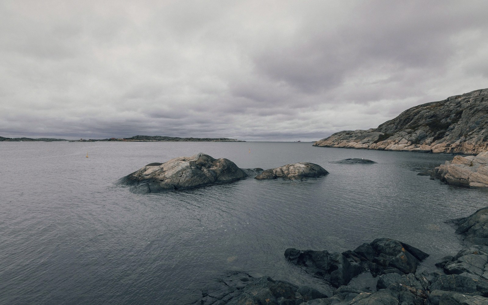
A sheltered bay where warm, shallow water meets a long arc of beach — the quieter alternative to Scania's more famous shores.
01The Bay and Its Towns
Skälderviken curves between Kullaberg's blunt headland in the south-west and the low coast near Ängelholm in the north-east. It is one of the shallowest bays on Sweden's Kattegat coast, which means the water warms early in summer and holds its heat well into August — noticeably warmer, most years, than the open Öresund itself. The bottom is sand nearly everywhere, and at low wind the surface goes almost flat.
Ängelholm sits at the bay's inner corner where the Rönne river meets the sea, and the beach stretching south from town is one of the longest continuous sand beaches in north-west Scania. Fine-grained and generally uncluttered outside midsummer, it runs for several kilometres past low dunes and sparse marram grass. The forest behind the dunes is planted pine, mostly, but it provides shelter and a clear boundary between beach and farmland.
Further round the bay towards the Kullaberg headland, the shore grows more sheltered still. The beach narrows here as the land begins to harden, and the character shifts from open strand to something more enclosed. Along this stretch the coast is largely undeveloped, accessible under allemansrätten — the general right of access to land and shore — and quieter for it.
Terns and waders work the tideline from spring onward, and the shallow water attracts diving ducks in autumn. Skälderviken is not a migration hotspot in the way that Falsterbo is, but it rewards an unhurried visit in almost any season.
| Place | What it is |
|---|---|
| Skälderviken | shallow bay on Scania's north-west coast, between Kullaberg and Ängelholm |
| Ängelholm | town at the inner corner of Skälderviken, where the Rönne river meets the sea |
| Båstad | small coastal town on the north side of the Bjäre peninsula, facing Laholmsbukten |
| Rönne | river entering the sea at Ängelholm |
| Kullaberg | headland forming the south-western limit of Skälderviken |